Location Map of MG Road
- 0
- 0
- 0
- 0
- 0
- 0
- 0
- 0
- 0
- 0
- 0
- 0
- 0
- 0
- 0
Project Collections for MG Road
Ready To Move
All Projects In Locality
Recently Added Properties
About MG Road
m g road
.
Overview :
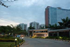
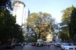
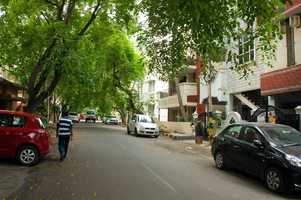
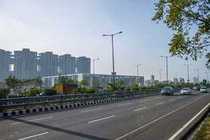
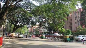
Mahatma Gandhi Road also known as M.G. Road is a famous road in Bengaluru. It is one of the most popular shopping and entertainment centre of central Bangalore. It runs east from Trinity circle at one end to Anil Kumble circle at the other. It has on of the busiest roads in Bangalore M G Road or Mahatma Gandhi Road, is home to overabundance of buildings and banks. Today the street is lined with several office building, retail outlets, theatres, restaurants, cafes and other food outlets. Now with its own metro station now since 2011, MG Road runs east from Trinity Circle at one end towards Anil Kumble Circle at the other end. Ulsoor, Defence Colony, Indiranagar, HAL 2nd Stage, Victoria Layout, Agram, MV Garden, Sarvagnanagar, Richmond Town, Langford Town, Jogupalya, Domlur are its neighbouring localities.
Connectivity :
The Bangalore Metro line that runs through MG Road, connects the eastern part of Bengaluru with the west. MG Road runs east from Trinity Circle at one end towards Anil Kumble Circle at the other end. Two major Metro Station in this locality are Trinity and M G Road.
This locality bears excellent connectivity to several key nodes around the place via Kasturba Road, Raja Ram Mohan Roy Road, Residency Road and M G Road which further connects to the Lal Bagh Main Road in the South and Cubbon Road in the North.
It has close proximity to Kempegowda International Airport which is situated at driving distance of 35 kms.
Hebbal Railway Station, Kodigehalli Railway Station, Banaswadi Railway Station and Bangalore East Railway Station are close to this locality. However, Bangalore Cantonment is the nearest railway station.
Proposed & Planned Infra :
Proposed 'Vayu Vajra' buses by BMTC from ITPL to KIA via Budigere Cross, Shivaji Nagar/M G Road to KIA via Hennur Road and Bannerghatta Road (Gottigere) to KIA.
Proposed Namma Metro Phase-2.
Proposed pedestrian foot overbridge (FOB) across MG Road by BMRCL .
Proposed phase-2 of Namma Metro Rail with two of its more route Baiyyappanahalli - Whitefield (15.50 km), Marathahalli - Hosakerehalli (21 km) and Gottigere – Nagavara (21.25 km).
Factors for future growth :
Improved connectivity, Operational Phase-1 Namma Metro Rail, retail outlets, theatres, restaurants, cafes and other food outlets and proximity to railway station are the major key factors that helped in development of this locality.
Proximity to Kempegowda International Airport along with major IT Hubs like Fortune Summit IT Park, Rajajinagar IT Park, JP IT Park and Harita IT Park have been a plus point for M G Road driving rental demand and providing consistent rental yield.
Infrastructural Development (Social & Physical) :
There are several schools in the vicinity that offer quality education. Some of them are Bishop Cotton Girls School, The Cathedral High School, St Joseph’s High School, The Frank Anthony Public School and Baldwin Boys’ High School.
Some of the famous hospitals providing health care facilities to the residents of M G Road are Mallya Hospital, Fortis La Femme, Sita Bhateja Speciality Hospital and Hosmat Hospital among few.
Garuda Mall, UB City, Embassy Galaxy Mall, 5Th Avenue Mall and EVA Mall are the four major malls in the locality.
VIEW MORE
Nearby Localities
Lavelle Road
Shivaji Nagar


