
Location Map of Anekal
- 0
- 0
- 0
- 0
- 0
- 0
- 0
- 0
- 0
- 0
- 0
- 0
- 0
- 0
- 0
About Anekal
This locality is also popularly known as
Anekal Sarjapur Road
.
Anekal is one of the taluk located towards South Bangalore and its approximately 40 km from the downtown Bangalore. The region lies at an elevation of 915 meters or 3001 feet from sea level. Earlier, the region was referred as Gajashella Pura which meant Elephant Rock Town (Gajashella: elephant rock, Pura: town).
The region is well known as producer of the cereal Ragi. It is grown as a principal food which supports the Agricultural Fraternity. Hence, Anekal is also known as Ragi Depot of Karnataka State, i.e. “Ragiya Kanajaâ€. The most widely spoken language in the region is Kannada.
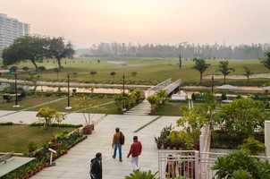
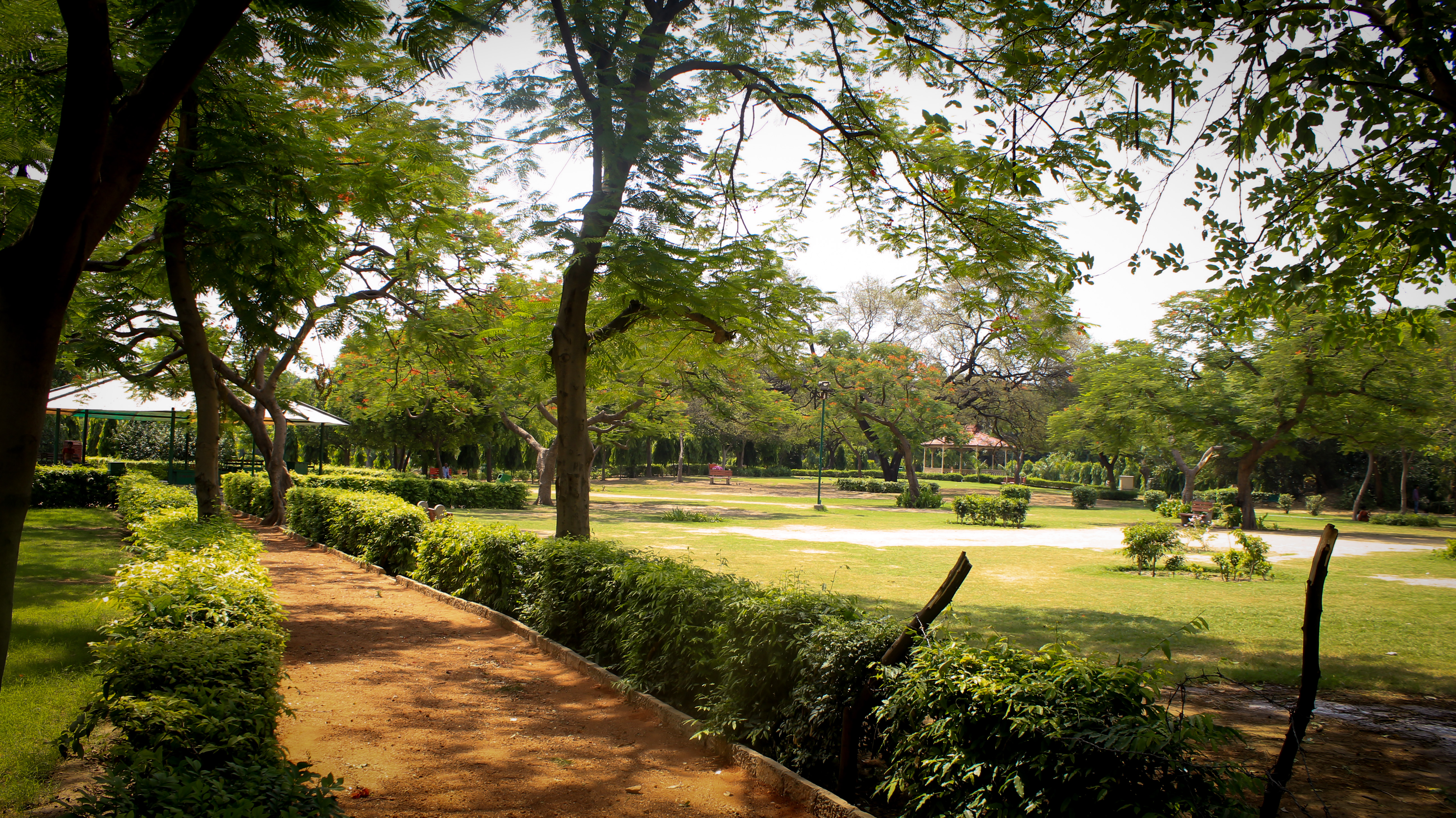
The region has a popular picnic spot, Muthyalamaduvu, which is just 5 km away from the town and also has a small waterfall. It is also famous for its historical temples and festivals celebrated. One of the popular festival of the region is Karaga. It is rich in ancient temples such as Temple of Lord Chennakeshava which is supposed to have been built by Lord Arjun. It also possesses temples of 15th and 18th Century, viz: Lord Srirama Temple and Sri Bandi Mahakaliamma Temple respectively.
List of Some of the Historical Temples:
The region has a good landscape featured with greenery. It is popular for reputed educational institutes. The region has a government college which is almost more than 27 years. The famous and prominent Alliance Business School is also settled in this region. Further, IIM Bangalore is also supposed to be established in the region as the land has been allotted for the campus. It also has Prarthan Computech Computer Education center which has been giving training in computers for past 18 years.
List of Some Educational Institutes:
The region is developing swiftly and envelopes major hub of the city. The Electronic City, Jigani and Hosur lies in close proximity to the region. It has Silk Industry and the National Park Banergatta Wild life Sanctuary comes under Anekal Taluk. Apart from this, the region lies at a distance of 35 km from the main City (Bangalore).
The region has well renowned institutes and popular Industries which increases the market value of the region. The rising value of the region leads towards the uplift in the Real Estate sector as well. Numerous builders have built fine projects in the region.
Some of the Residential Projects in the Region are highlighted below;
The region is well known as producer of the cereal Ragi. It is grown as a principal food which supports the Agricultural Fraternity. Hence, Anekal is also known as Ragi Depot of Karnataka State, i.e. “Ragiya Kanajaâ€. The most widely spoken language in the region is Kannada.
The region has a popular picnic spot, Muthyalamaduvu, which is just 5 km away from the town and also has a small waterfall. It is also famous for its historical temples and festivals celebrated. One of the popular festival of the region is Karaga. It is rich in ancient temples such as Temple of Lord Chennakeshava which is supposed to have been built by Lord Arjun. It also possesses temples of 15th and 18th Century, viz: Lord Srirama Temple and Sri Bandi Mahakaliamma Temple respectively.
List of Some of the Historical Temples:
- Kambada Ganesha temple (monolithic statue of Lord Ganesha on a long pillar)
- Sri Amrutha Mallikarjuneshwara
- Sri Bhramarambika temple
- Temple of Lord Chennakeshava
- Sri Madhuramma Temple (built by the Chola kings of Tamil Nadu)
- Sri Bandi Mahakaliamma Temple (built by the villagers of 7 adjoining villages)
- Lord Srirama Temple (built by the Hoysala Kings )
- Sri Hanuman Temple (One of the oldest)
- Sri Thimmaraya Swamy Temple and many more
The region has a good landscape featured with greenery. It is popular for reputed educational institutes. The region has a government college which is almost more than 27 years. The famous and prominent Alliance Business School is also settled in this region. Further, IIM Bangalore is also supposed to be established in the region as the land has been allotted for the campus. It also has Prarthan Computech Computer Education center which has been giving training in computers for past 18 years.
List of Some Educational Institutes:
- Dr. Gopalraju instituted a college
- Shirdi Sai Engineering College, Premier Engineering college
- Shirdi Sai Pre-University College, PU college from Sairam Group
- Shirdi Sai Nautical Science Academy
- Regional Theology Extension Center
- Swamy Vivekananda PU College
- Alliance Business School
- St. Joseph's High School
- Vidhatha High School
- Sri Manjunatha High School etc.
The region is developing swiftly and envelopes major hub of the city. The Electronic City, Jigani and Hosur lies in close proximity to the region. It has Silk Industry and the National Park Banergatta Wild life Sanctuary comes under Anekal Taluk. Apart from this, the region lies at a distance of 35 km from the main City (Bangalore).
The region has well renowned institutes and popular Industries which increases the market value of the region. The rising value of the region leads towards the uplift in the Real Estate sector as well. Numerous builders have built fine projects in the region.
Some of the Residential Projects in the Region are highlighted below;
- Divya Jyothi Lake View County
- VBHC Vaibhava
- Jr Coco Nest
- Brindavan Gardens
- Pioneer White Orchid
- SVR Homes
- SRR Royal Retreat
For more apartments, Click Here
VIEW MORE
Similar Searches
Nearby Localities
Sarjapur

Ittangur

View More Localities
Apps